
Drone Roof Inspection in Hillsboro, OR
Use drone roof imaging in Hillsboro to document broad roof areas and hard-to-reach details, then verify repair decisions with a hands-on review.
Drone Roof Inspection
A long roof plane can be hard to document from one ladder point. A drone inspection gives a measured view of broad membrane areas, roof edges, and details that are difficult to approach, then ties images to a roof map. In Hillsboro, OR, we use those images to spot visible displacement, debris, open seams, ponding, and changes that deserve a closer look. Aerial views show surface conditions; a roof-level walk checks seams, attachment, and flashing, while moisture testing checks concealed insulation. We pair aerial coverage with a roof walk wherever safe access allows, then mark what needs repair, testing, or another visit.
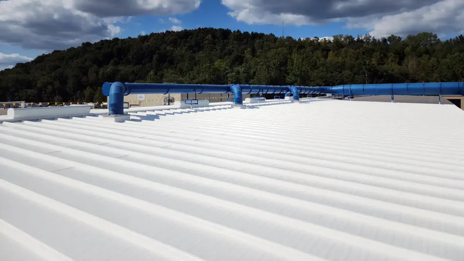
Related Roofing Pages
More pages on commercial roofing in Hillsboro:
Set the image plan before flight
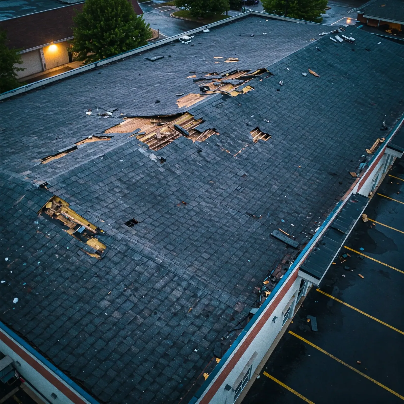
We begin with the building's roof layout, access rules, nearby obstructions, active equipment, and the owner's question. The image plan should show the perimeter, large roof sections, mechanical areas, and visible drainage patterns at a useful scale. We coordinate the flight window with the property contact, protect people from the work zone, and avoid capturing areas that are outside the agreed inspection. If conditions do not support a safe flight, we document that limit and use another method.
Hillsboro has substantial advanced manufacturing activity, including semiconductor production, and drug manufacturing, packaging, and distribution. For a production or distribution building, we plan imaging around equipment, exhausts, and operating areas. The property contact identifies restricted zones and times when flight or roof access must pause.
Oregon Highway 8 connects Hillsboro with Cornelius, Aloha, Beaverton, and Forest Grove. Before a flight, we confirm the property's layout, operating rules, and permitted coverage with the site contact. We record covered and excluded roof zones so an image gap is not read as a roof condition.
Read visible surface conditions in context
Images can reveal open-looking seams, displaced metal, debris lines, standing water, damaged flashing, or changes in surface color. We compare those views across roof sections and relate them to drain locations, curbs, edges, and prior repair records. A surface shadow can resemble a defect, and a uniform membrane can conceal wet insulation beneath it. We label an image as an observation, then determine whether a roof walk, moisture survey, or test opening is needed before specifying work.
In Hillsboro, rainfall totals about 35.93 inches yearly, with monthly precipitation peaking from October through January. Aerial imagery may flag pooled water, yet it cannot reveal whether a blocked bowl, a sagging deck, or damp insulation caused it. We label the visual cue, then inspect the drain and assembly at roof level. The condition report distinguishes that image observation from a verified finding.
When an edge detail is visible from above, the image may help locate the segment for closer inspection. It cannot confirm that a termination is secure underneath metal or that flashing bonds to the substrate. We record the segment, then choose a safe access method for verification.
Pair aerial coverage with roof-level checks
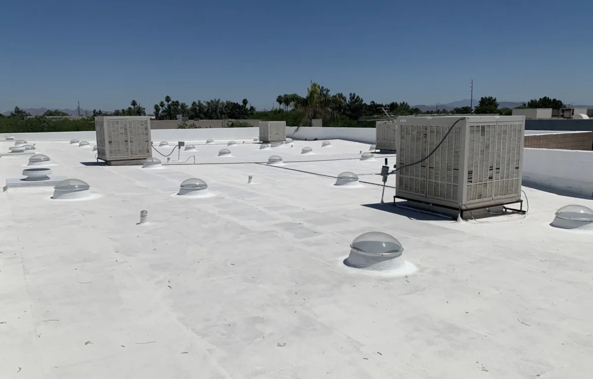
After capture, we sort views by roof section and match them to the building plan. The property manager receives labeled images showing the approximate location and direction of each view. We flag items that merit hands-on review, such as a separated lap, questionable curb flashing, blocked strainer, or standing water. We pair surface imagery with field checks of material, attachment, and moisture before pricing a repair.
For a warehouse roof or a broad distribution building, aerial views can make it easier to compare areas without stepping through every equipment corridor. A walk still checks the places where membrane meets curbs, skylights, pipes, parapets, and drains. If a moisture survey is appropriate, its map answers a different question from the drone images. Both sets can be linked in the same report without confusing visible surface clues with concealed readings.
Our sequence follows the access available. We coordinate roof entry, clear walk paths, and note sections that remain inaccessible. The report states what the drone covered and what the ground inspection could confirm. An owner can then decide whether to authorize repair, test a suspected area, or repeat imagery after a weather event.
Connect roof coverage to Hillsboro conditions
Winter conditions can affect both the roof and the timing of an image review. Daily lows in Hillsboro reach 32°F or below on about 64 days each year. A drone image of a wet or frozen surface calls for cautious interpretation and safe, hands-on follow-up; we record the capture conditions before recommending a roof-level visit.
Tanasbourne and AmberGlen have a regional-center designation serving western Washington County. Before imaging a building there, we confirm the permitted coverage and the roof-level access available for checking each visible concern. At each property, we build the inspection sequence around its actual roof map, loading area, and contact instructions.
A useful image set links each observation to the next step. If a dark area appears near a drain, we check drainage and membrane condition. If a metal edge appears lifted, we approach the segment safely and inspect its attachment. The report marks where a wind-related concern or flashing detail needs hands-on evaluation.
Give the owner images that support a decision
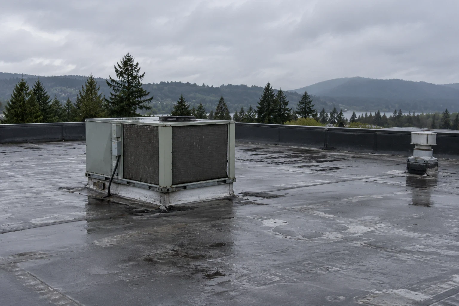
Closeout includes selected views, labeled roof areas, access limits, and a list of visible conditions that need field confirmation. We tie each recommendation to a detail and state whether the next step is inspection, repair, or moisture testing. A repair price follows the assembly and boundary confirmed during the roof-level inspection, with surface color treated as an image observation. The owner can share the marked record with building staff or use it to plan a later roof walk.
For a property along the Tualatin Valley Highway corridor, the trip and staging can differ from a building near downtown, but the image key remains tied to that roof. We can return for a follow-up repair assessment or put the visible findings into a multi-site roof program when several buildings need comparable records.
Drone imaging is most useful when it answers a practical question: which section needs attention, which edge should be inspected, or whether a visible condition changed since the last set. The report keeps that question with the image, then records what the roof walk confirmed. This gives the next manager a usable reference instead of a folder of unlabeled aerial pictures.
Questions About Drone Roof Inspection
How does drone imagery guide a moisture check?
Drone imagery shows surface conditions. If an area suggests possible moisture, we mark it for a survey or test opening, then verify the insulation at roof level before setting repair scope.
Will an aerial inspection replace a hands-on roof walk?
It can reduce the need to approach some broad or difficult areas, but it does not check every seam, attachment, or flashing bond. We pair imagery with a roof-level inspection where access and safety allow.
What details can a drone help us locate?
Aerial views can show broad surface patterns, debris, ponding, visible seam changes, and locations around equipment or edges that need closer review. We label those observations and confirm the actual condition on the roof before pricing repair.
Can you compare images taken at different times?
Yes, when views and coverage can be aligned. We note differences in visible surface conditions and identify sections for closer inspection. When imagery is aligned, we compare visible surface changes and send any suspected moisture or attachment change to a roof-level check.
How do you handle sensitive equipment or restricted roof zones?
We review the property contact's access and operating rules before planning coverage. The image plan avoids agreed restricted areas, and the report notes any section not captured or reached for ground verification.
Plan a Hillsboro drone roof inspection
Share a roof plan, access rules, and the condition you need documented. We will outline image coverage, pair visible findings with field checks, and return labeled views tied to the next decision.